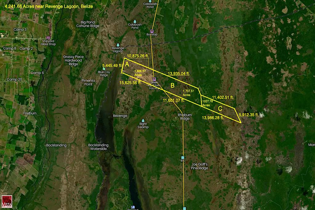

4,241.66 Acre Farm & Land along Phillip Goldson Highway & Revenge Lagoon BELIZE
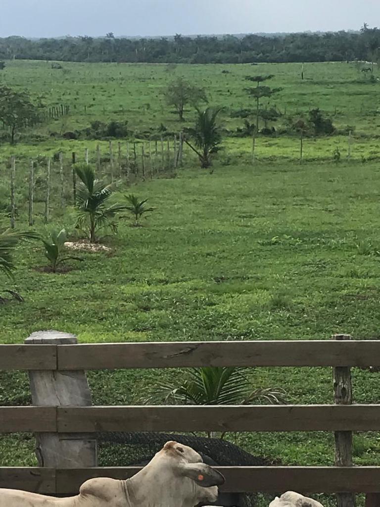
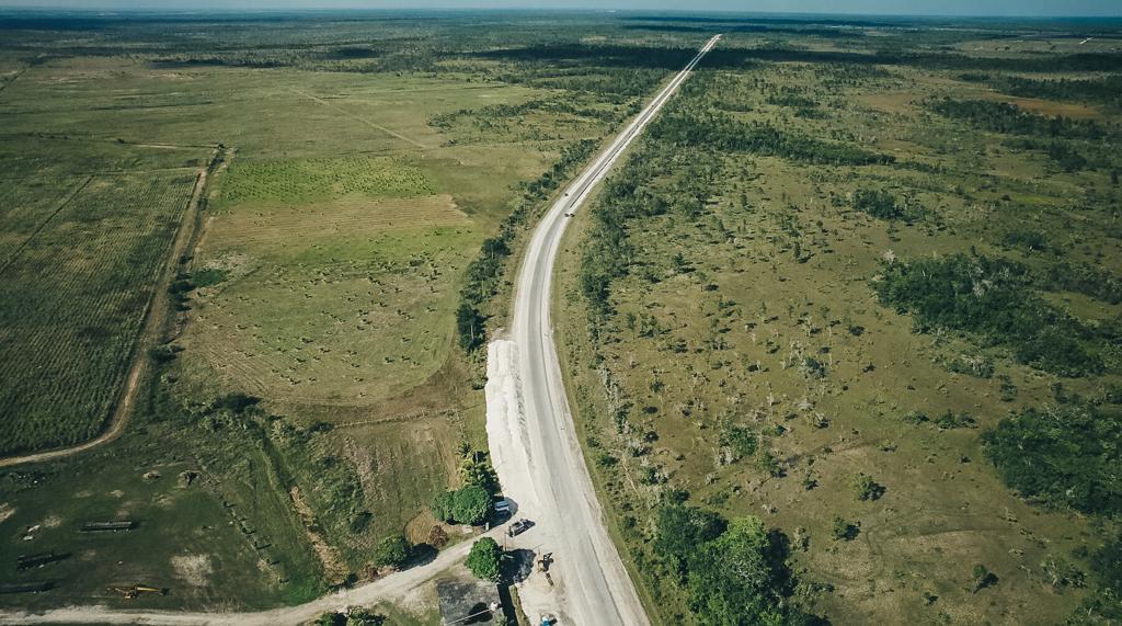
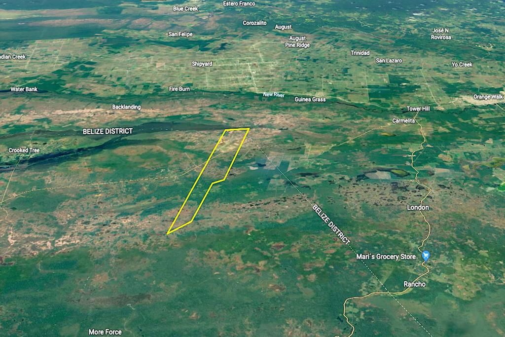
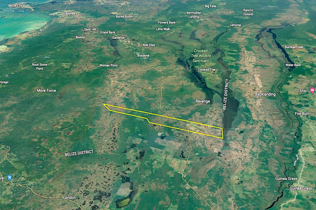
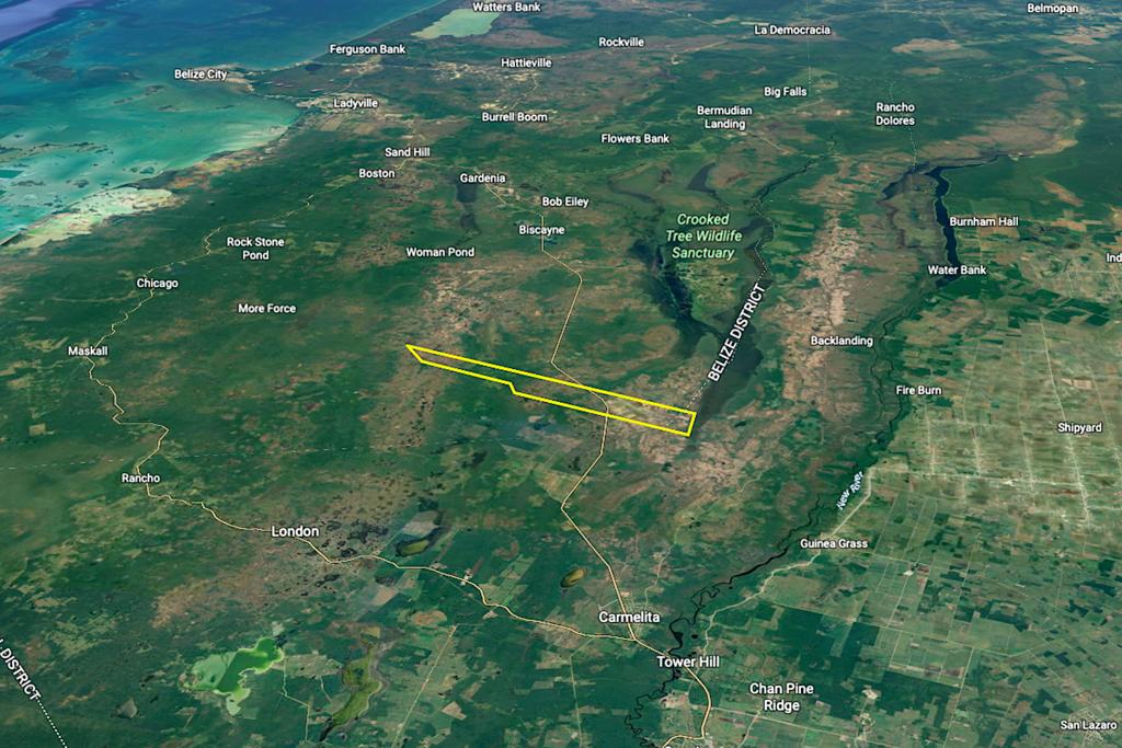
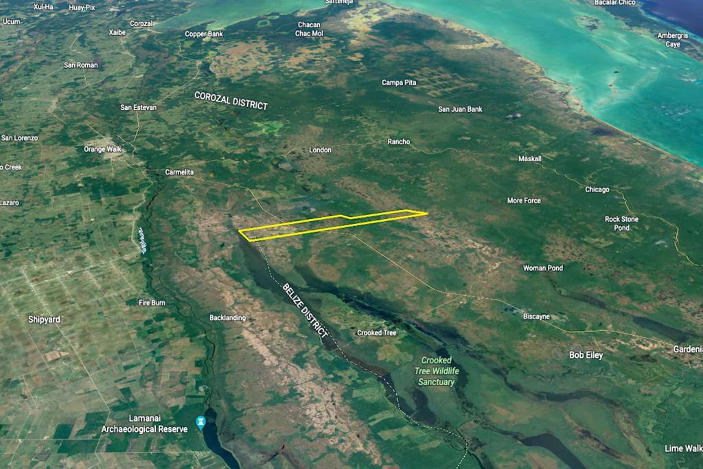
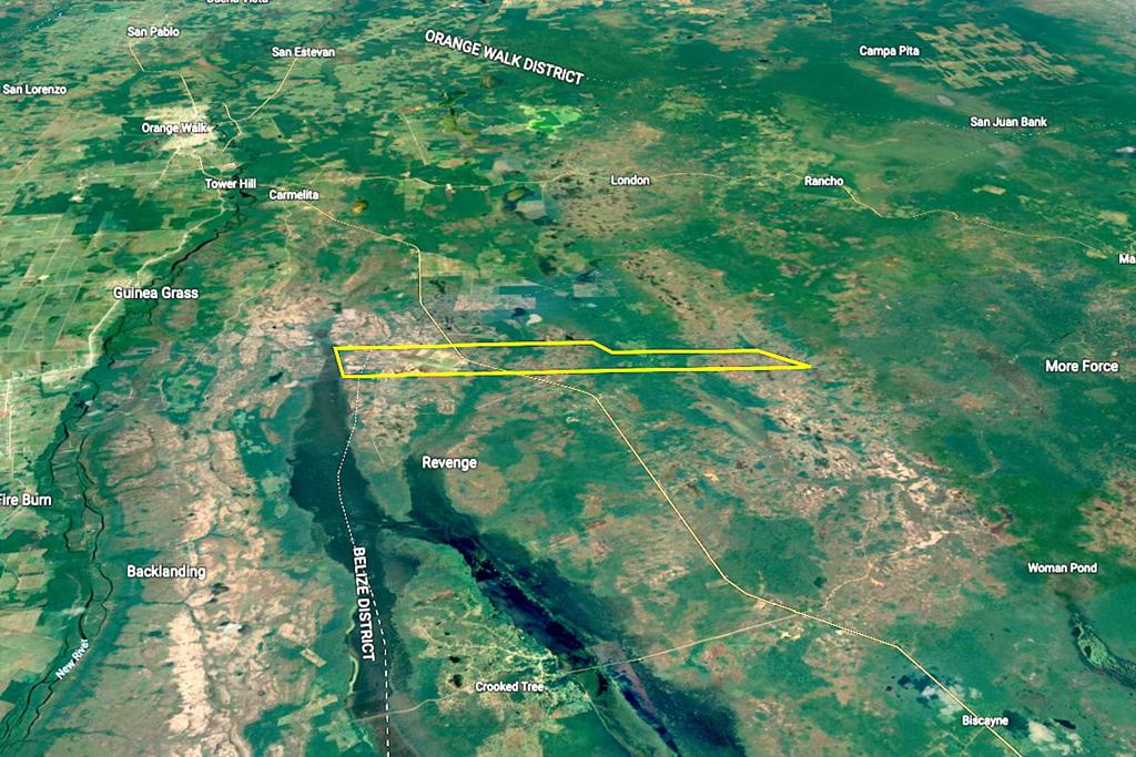
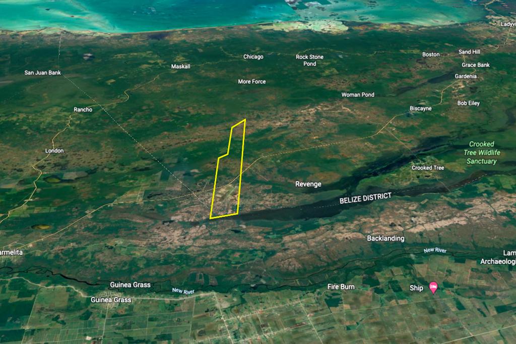
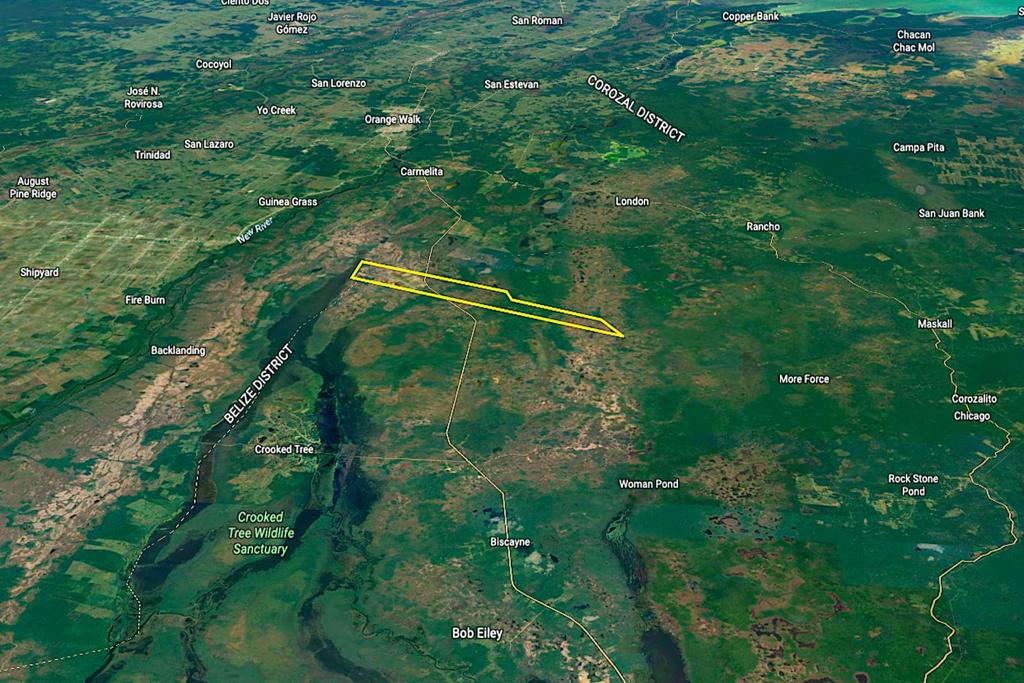
This 4,000+ acre farm is situated on both sides of the Phillip Goldson Highway and is 8 miles from Carmelita, 9 miles from Old Northern Highway, and 15 miles from Orange Walk and Biscayne. The land runs from Revenge Lagoon to the west, crosses the highway, and extends for miles, including savannah, pine ridge forest, and secondary forest further east.
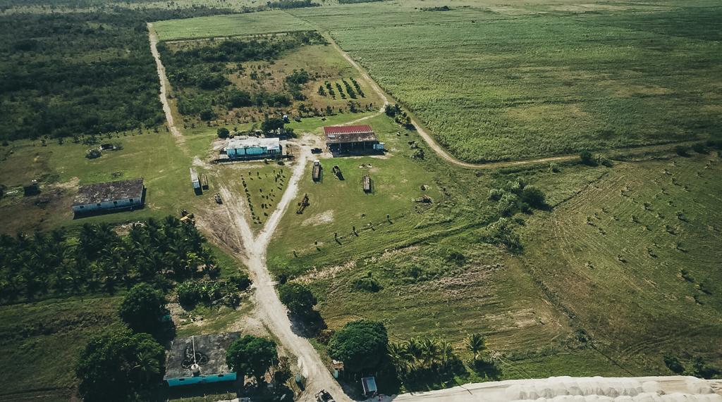
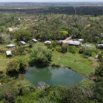
The land is odd-shaped and measures approximately: 5,445.49 ft x 10,875.26 ft x 15,625.56 ft x 13,935.04 ft x 11,601.07 ft x 11,401.51 ft x 13,986.28 ft x 5,912.35. It includes farming and development infrastructure such as management quarters, an area for servicing vehicles, and storage for supplies.
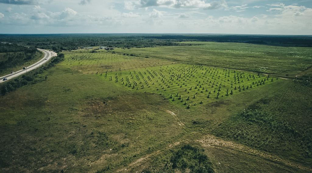
The western section of the property is divided into plots for sugar cane and other alternative uses.
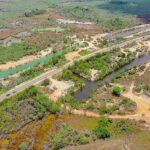
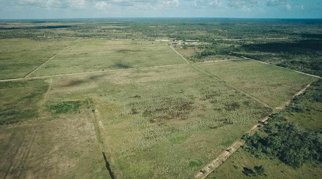
The terrain has a creek on its southern boundary, featuring gentle slopes and varying elevations throughout. As you move deeper into the property, the forested region gives way to the Revenge Lagoon on the west, alongside a mix of savannah, forest, sugar cane, and small farms to the east.
This large acreage has significant development potential, with easy access to water, direct frontage on the Northern Highway, and the space for various uses, including land development for agriculture, ranching, sustainable timber production, aquaculture, and fish farms.
The property is located along Mile 40 Phillip Goldson Highway, Rhaburn’s Ridge, Belize District, Belize C.A.
Blocks of land of this size and type with direct access to power, water, and a major roadway are rare.